


After more than a decade of working on projects throughout Michigan, Toole Design is putting down roots with a new Michigan…
As transportation planning and design approaches have evolved in recent decades to focus more on walking, biking, and rolling, the…
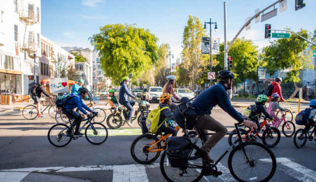
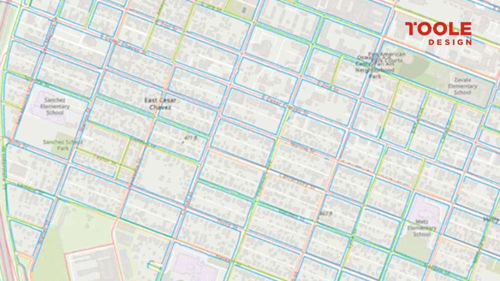
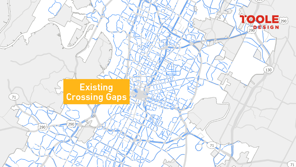
While evaluating things like crash patterns, systemic safety, and network connectivity is critical to the work we do at Toole…