ATX Walk Bike Roll
Austin, TX
Project Summary
Toole Design led a simultaneous effort to update three interrelated active transportation plans: the Sidewalks, Crossings, and Shared Streets Plan; the Urban Trails Plan; and the Bicycle Plan. Branded as ATX Walk Bike Roll, this project is grounded in a comprehensive equity framework that directs outreach efforts, informs project prioritization, and guides decision-making.
This coordinated effort required significant collaboration between a large project team of subject matter experts from across the company, five subconsultants, and multiple City programs and departments. With the three plan documents approved by the City in late 2023, this set in motion a wave of projects that are now under construction or complete citywide, all featured in this interactive map.
In 2023, the Plan won an APA Transportation Award from the Texas Chapter of the American Planning Association. Keep reading to learn more about three key elements of ATX Walk Bike Roll.
1. Equitable and Inclusive outreach
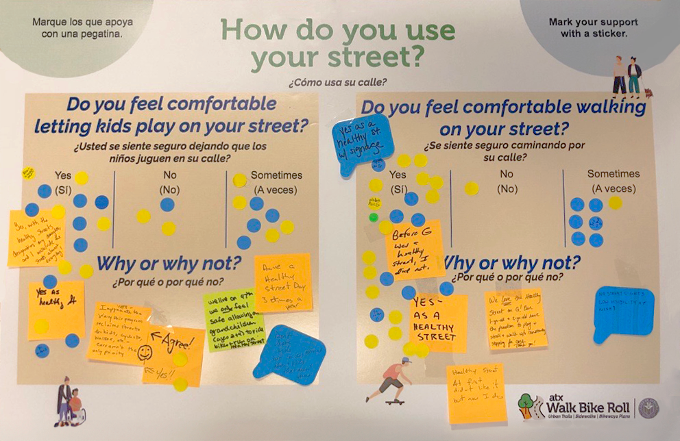
ATX Walk Bike Roll is centered in equity and inclusion, from the way we reach out to communities to the way we make decisions. To start, our team conducted an equity scan of existing City plans and policies and interviewed internal and external stakeholders to better understand historical and ongoing inequities. We also developed an equity framework resource which included:
- An acknowledgement of inequities and the City’s role, principles, and goals for future actions
- Recommendations for public engagement
- A platform to guide and evaluate planning and design decisions
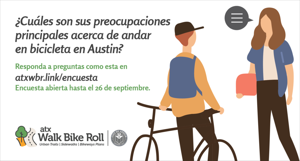
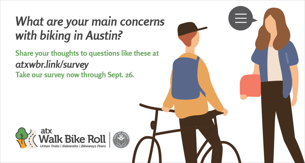
The public outreach effort relied on on-the-ground plan ambassadors and multifaceted engagement via social media, TV, radio, print newspapers (in English and Spanish), an online interactive map, multiple surveys, and 30+ pop-up engagement events. Our efforts prioritized reaching and engaging with people of color and people with low incomes, leading to input from more than 10,000 people.
2. Analytical Services
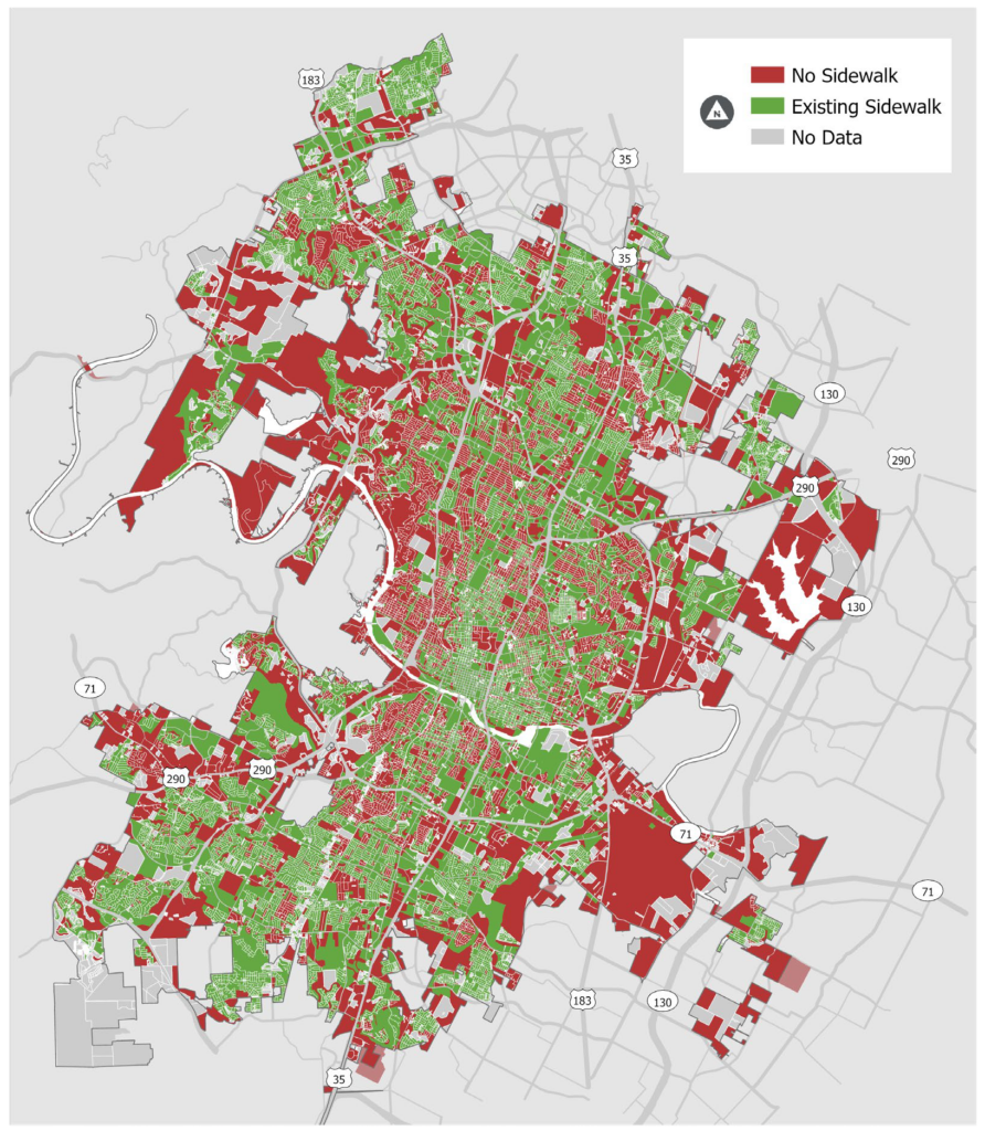
To maximize the impacts of the City’s investments, we developed 14 distinct GIS-based tools usable by City staff to identify gaps, evaluate network connectivity, and prioritize projects long into the future. Some examples include:
- A comprehensive street crossing inventory and evaluation model
- Tools to evaluate the coverage of pedestrian and bike networks and the level of access to a variety of destination types
- Tools to produce prioritization maps for the citywide network of s
These tools vastly increased the City’s ability to identify, prioritize, and implement projects, many of which are featured on this implementation progress map.
3. Shared streets program
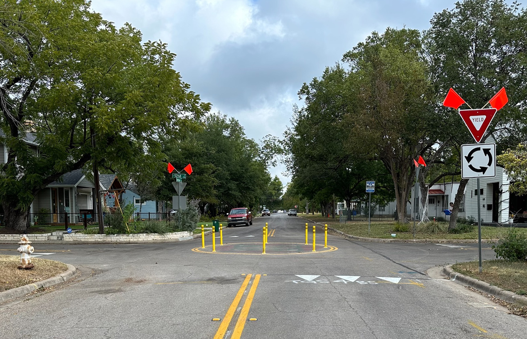
We guided the City in developing a shared streets program, which included a new methodology for identifying and prioritizing potential shared street pilot projects. Along with a shared streets design toolkit and criteria for both temporary and permanent installation, we also provided field engineering concept plans for 20+ blocks of shared streets. Local residents were involved in the design process during public outreach efforts. Now, multiple permanent shared street projects have been implemented by City crews.
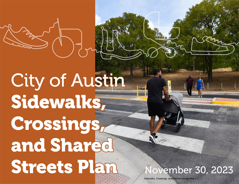
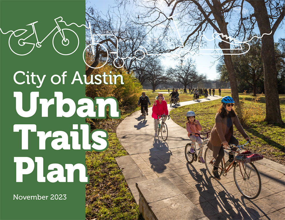
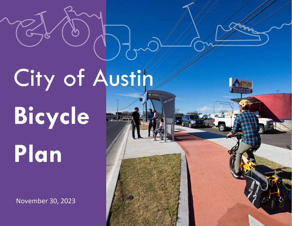
In November 2023, the City Council approved and adopted the three modal plans. View each plan by clicking on the images above.