Raleigh’s Capital Area Greenway Planning and Wayfinding
Raleigh, NC
Project Summary
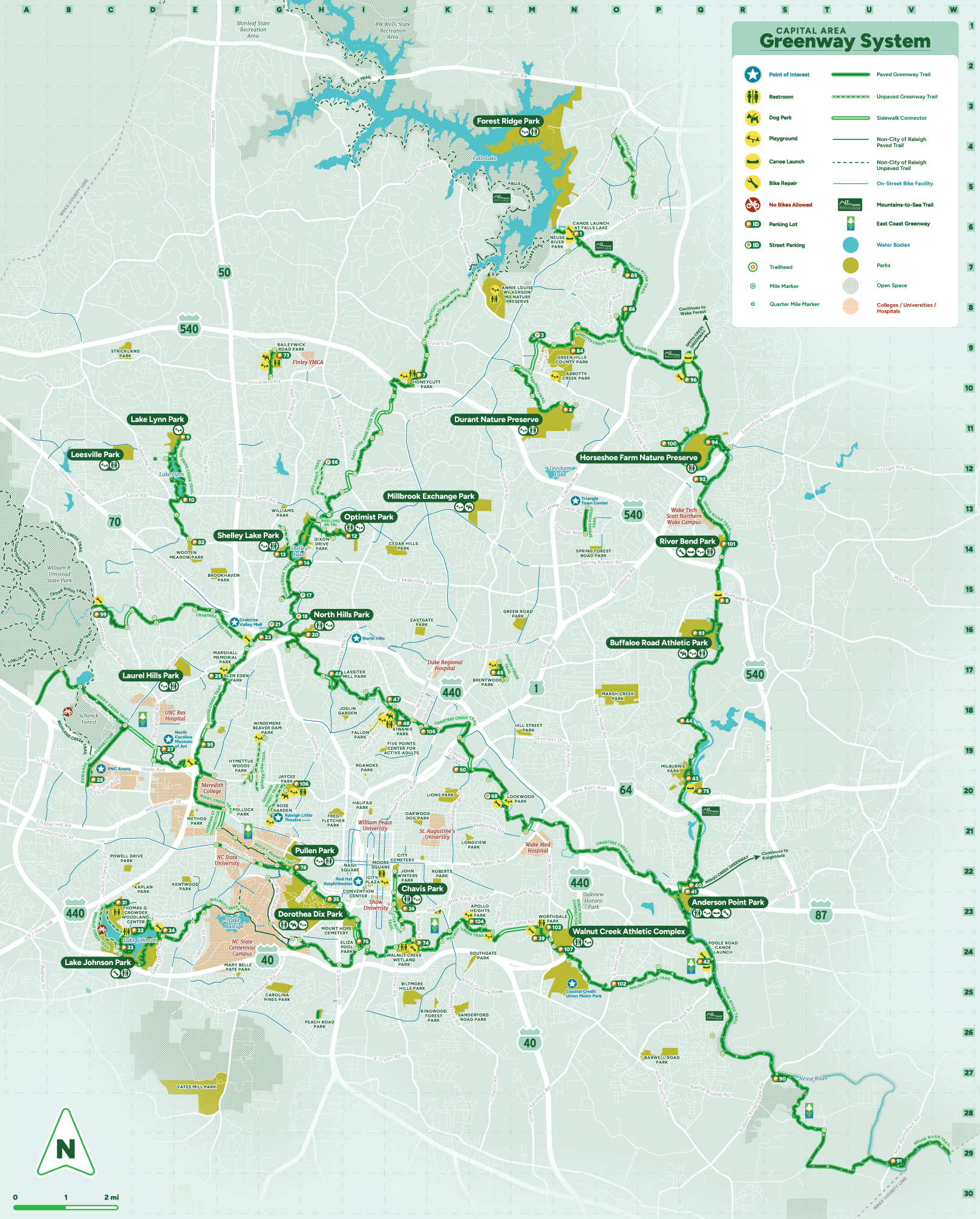
The City of Raleigh’s Capital Area Greenway (CAG) System has been a valuable community asset since its first segment was constructed in the 1970s. Today, the network includes approximately 120 miles of trails, with plans to expand to over 250 total miles. As the city continues to grow, the CAG System also needs a path forward to adapt to the evolving needs of its residents. Since 2019, Toole Design has been working with the City of Raleigh to lead the Capital Area Greenway Master Plan Update and also develop a Greenway Wayfinding Plan. Keep reading to learn more about the two key phases of our work in Raleigh, NC.
1. Capital Area Greenway Master Plan Update
Toole Design partnered with the City to lead the Capital Area Greenway Master Plan Update, with a focus on enhancing connectivity, access, and equitable engagement. While Raleigh’s greenways have historically followed stream corridors, our planning effort broadened this focus to ensure the greenway system also connects to local destinations beyond these corridors. By evaluating the existing system, current trail classifications, street crossing standards, and greenway-related policies, we developed recommendations to create a more comprehensive network that better serves Raleigh’s residents and visitors.
2. Capital Area Greenway System Wayfinding Plan
Building on this momentum, Toole Design is now working with the City to develop a Greenway Wayfinding Plan for the CAG System. This next phase will establish a cohesive approach to wayfinding, including new, modular signage styles and resources for fabricating and installing signs across the system. While current wayfinding is primarily geared toward recreational users, this initiative will support a broader range of trips to homes, schools, parks, transit, and more. With this framework in place, the system will support diverse trips for years to come as new trails are added and signage is updated.

