Houston Bike Plan Project Implementation
Houston, TX
Project Summary
In April 2018, Harris County and the City of Houston announced the Build 50 Challenge as a part of Commissioner Rodney Ellis’s goals for affordable and equitable transportation and the Mayor’s Complete Communities Initiative. The plan called for Harris County to build 50 new miles of high-comfort bike facilities within 12 months. Toole Design joined our partners at Traffic Engineers Inc. to answer that call, helping to turn 20 miles of this big Texas dream into a reality.
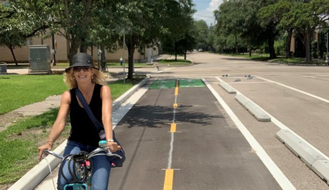
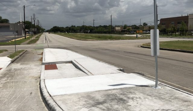
From June 2018 through April 2019, our staff used their experience to connect with the community and stakeholders, provide final design drawings, advise Harris County and City of Houston staff on project set-up and management practices, develop engagement and education materials, and assist contractors with questions during construction. The resulting facilities ranged from protected and neighborhood bikeways to trails including pavement markings, signs, intersection improvements, ADA upgrades, floating bus stops, and bicycle signals.
The new facilities created safer and more equitable transportation throughout the City quickly. Today, these on-street connections link the City’s off-street bayou trails with local parks and two hospitals. The new network of low-stress bikeways puts 68,079 people and 171,186 jobs within a half mile of safe riding routes, and put 11 schools and 3 colleges or universities within a quarter mile of a separated bike lane.
Expertise Applied
- Active Transportation Planning
- Corridor Studies
- Transit Planning
- Complete Streets and Shared Streets
- Streetscape Design
- Wayfinding and Environmental Graphics
- Final Design and Construction Documentation
- Roadway and Street Design
- Traffic Engineering and Operations
- Design Guidance and Manuals
- Conceptual Design
- Site Development and Permitting
- Utilities and Right-of-Way
- Construction Administration
- Rapid Implementation

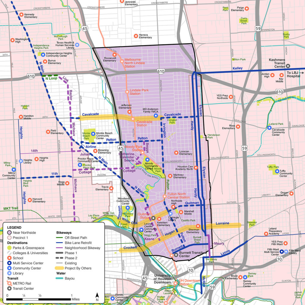
This design work built on existing plans and community engagement that identified opportunities to expand and improve intra-neighborhood mobility. This map, from Phase 2 of the Near Northside Action Plan, marks desirable routes identified by the community as opportunities to implement bike lanes and transit facilities.

